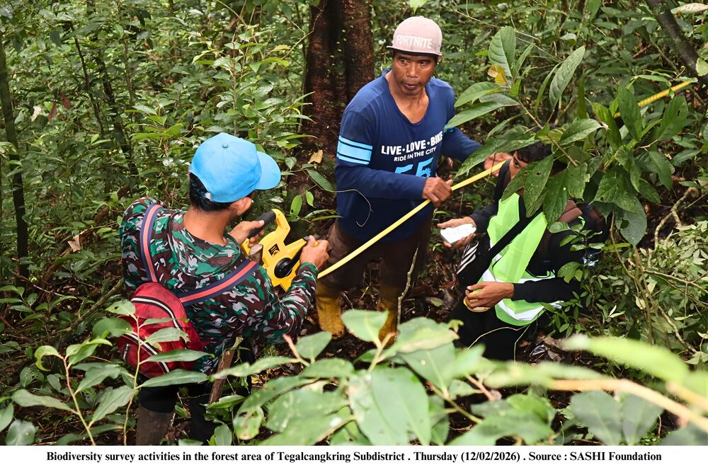
As part to strengthen forest management in the West Bali landscape, the SASHI Foundation, with support from Rainforest Trust, conducted the first biodiversity survey in the forest area of Tegalcangkring Subdistrict from 5 – 15 February 2026. The biodiversity survey was conducted by collecting data on vegetation and fauna in the observation plots. Data collection was capturing vegetation and fauna across multiple strata, including litter, seedlings, saplings, poles, and trees, as well as wildlife present within the survey area. This approach enabled the development of an initial ecological profile, providing insights into ecosystem conditions and biodiversity potential within the forest landscape.
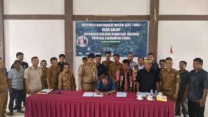
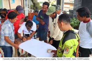
At the same time, the SASHI Foundation facilitated social forestry area mapping in Tegalcangkring Subdistrict, Berangbang Village, and Pulukan Village. This activity forms part of a broader effort to strengthen social forestry governance in West Bali, particularly for five social forestry groups that have proposed adjustments to their management areas, specifically Tegalcangkring Subdistrict, Berangbang Village, Pulukan Village, Tukadaya Village, and Penyaringan Village. In this time, Penyaringan Village already has an updated social forestry area map, and the subsequent facilitation will prioritize Tukadaya Village.
The area mapping process was carried out to clarify and update management areas as a basis for improved planning of social forestry schemes, while supporting more organized management of the area in accordance with on-site conditions. The integration of biodiversity data and spatial area mapping is expected to strengthen forest management by integrating ecological and administrative considerations. In the near term, biodiversity surveys will be extended to 23 forest-adjacent villages in Jembrana Regency. This will be followed by continued facilitation of social forestry area mapping in Tukadaya Village as part of the next phase.